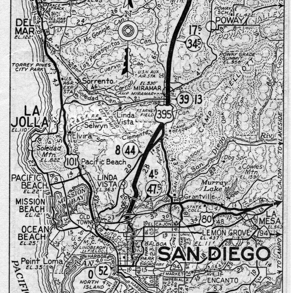
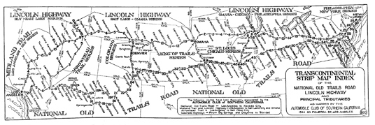
This image is the index map (map number "600") to the Automobile Club of Southern California strip maps for the National Old Trails Road, Lincoln Highway, Midland Trail, Arrowhead Trail, King of Trails, and old Illinois Highway 4.
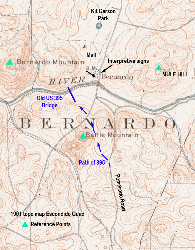
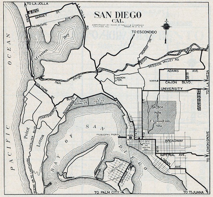
Click on the thumbnail to connect to a larger image.
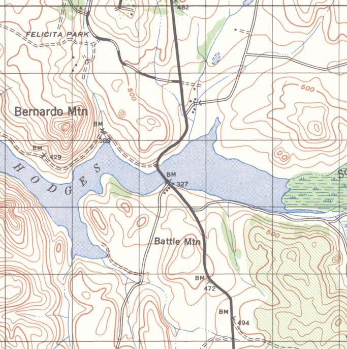
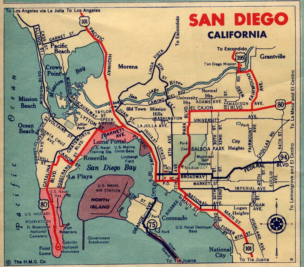
Click on the thumbnail to connect to a larger image.